Where is Kirkurd?
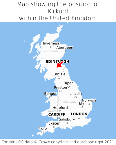
Kirkurd is located in the county of Tweeddale, Scotland, seven miles north-east of the town of Biggar, 35 miles east of the major city of Glasgow, 20 miles south-west of Edinburgh, 291 miles north of Cardiff, and 318 miles north-west of London. Kirkurd lies roughly one mile east of the Lanarkshire border, and was historically in the county of Peebleshire. Kirkurd falls within the unitary authority of Scottish Borders. It is in the EH46 postcode district. The post town for Kirkurd is West Linton.
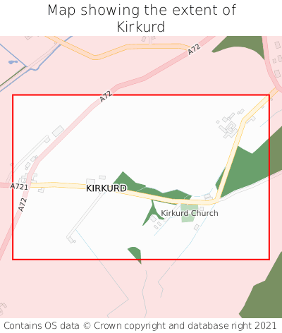
Kirkurd on a map


Which county is Kirkurd in?
Kirkurd is in the ceremonial county of Tweeddale, the historic county of Peebleshire, and the administrative county of Scottish Borders.
| Ceremonial County | Tweeddale |
|---|---|
| Historic County | Peebleshire |
| Administrative County | Scottish Borders |
Where is Kirkurd in Tweeddale?
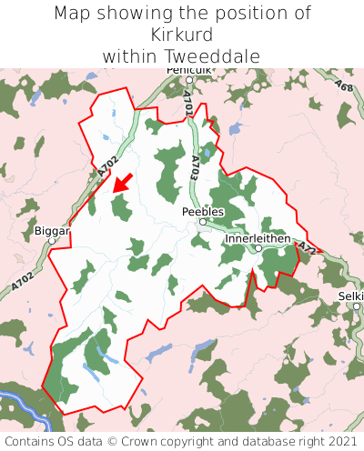
Kirkurd is situated towards the northernmost extremity of Tweeddale, and towards the westernmost extremity of Tweeddale.

What is the postcode for Kirkurd?
The nearest postcode to the centre of Kirkurd is EH46 7AH.
Where is Kirkurd in EH46?
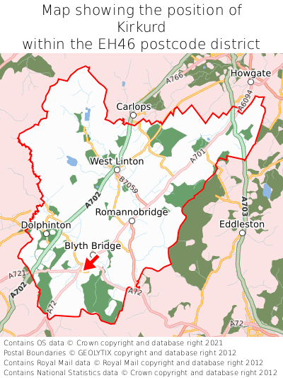
Kirkurd is situated towards the southernmost extremity of the EH46 postcode district, and towards the westernmost extremity of the EH46 postcode district.

What is the post town for Kirkurd?
The post town for Kirkurd is West Linton. Kirkurd is in the EH46 postcode district, which corresponds to the post town of West Linton.
What is the latitude and longitude of Kirkurd?
The centre of Kirkurd is located at position 55.68479° latitude and -3.39391° longitude.
| Latitude | 55.68479° |
|---|---|
| Longitude | -3.39391° |
What is the easting and northing of Kirkurd?
The centre of Kirkurd is located at the grid reference easting 312458 and northing 644360 within the British National Grid (OSGB36) system.
| Easting | 312458 |
|---|---|
| Northing | 644360 |
What are the nearest towns to Kirkurd?
Position of Kirkurd relative to nearby towns. Distance is measured from the centre of Kirkurd to the centre of the town.
What are the nearest cities to Kirkurd?
Position of Kirkurd relative to nearby cities. Distance is measured from the centre of Kirkurd to the centre of the city.