Where is Houston?
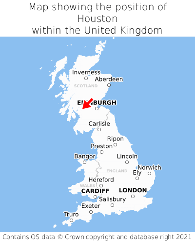
Houston is located in the county of Renfrewshire, Scotland, three miles north-west of the town of Johnstone, 12 miles west of the major city of Glasgow, 53 miles west of Edinburgh, 309 miles north of Cardiff, and 351 miles north-west of London. Houston lies four miles south of the Dunbartonshire border. Houston falls within the unitary authority of Renfrewshire. It is in the PA6 postcode district. The post town for Houston is Johnstone.
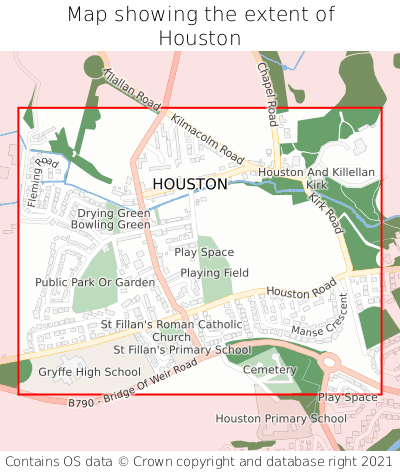
Houston on a map


Which county is Houston in?
Houston is in the ceremonial county of Renfrewshire, the historic county of Renfrewshire, and the administrative county of Renfrewshire.
| Ceremonial County | Renfrewshire |
|---|---|
| Historic County | Renfrewshire |
| Administrative County | Renfrewshire |
Where is Houston in Renfrewshire?
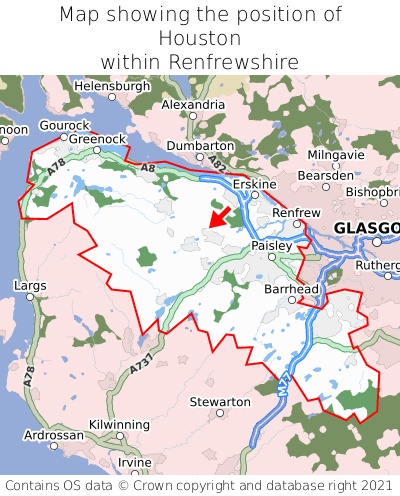
Houston is situated roughly centrally between the southernmost and northernmost extremities of Renfrewshire, and roughly centrally between the easternmost and westernmost extremities of Renfrewshire.

What is the postcode for Houston?
The nearest postcode to the centre of Houston is PA6 7JA.
Where is Houston in PA6?
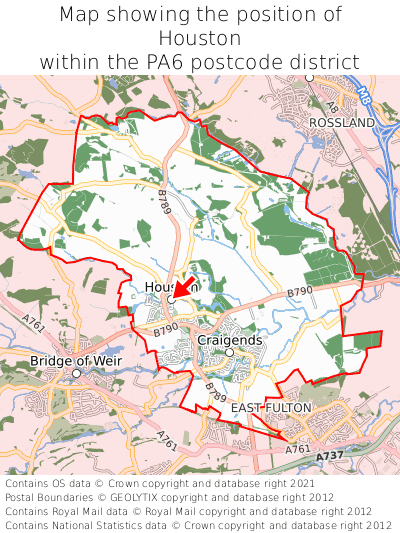
Houston is situated roughly centrally between the southernmost and northernmost extremities of the PA6 postcode district, and roughly centrally between the easternmost and westernmost extremities of the PA6 postcode district.

What is the post town for Houston?
The post town for Houston is Johnstone. Houston is in the PA6 postcode district, which corresponds to the post town of Johnstone.
What is the latitude and longitude of Houston?
The centre of Houston is located at position 55.8702° latitude and -4.54867° longitude.
| Latitude | 55.8702° |
|---|---|
| Longitude | -4.54867° |
What is the easting and northing of Houston?
The centre of Houston is located at the grid reference easting 240626 and northing 667052 within the British National Grid (OSGB36) system.
| Easting | 240626 |
|---|---|
| Northing | 667052 |
What are the nearest towns to Houston?
Position of Houston relative to nearby towns. Distance is measured from the centre of Houston to the centre of the town.
What are the nearest cities to Houston?
Position of Houston relative to nearby cities. Distance is measured from the centre of Houston to the centre of the city.