The Avenue Playing Field - Patchway
The Avenue Playing Field is located in Patchway, Bristol (BS34), and offers Grass Pitches.
| Address | THE PAVILION, The Avenue, Patchway, Bristol, BS34 6BD |
| Car Park | Yes |
| Car Park Capacity | 15 |
| Management Type | Local Authority (in house) |
| Management Group | Local Authority |
| Owner Type | Local Authority |
| Owner Group | Local Authority |
| Education Phase | Not applicable |
| Start Date | 1st May 2015 |
Facilities
| Status Notes | Used for training and matches for a local youth team |
| Accessibility | Sports Club / Community Association |
| Management Type | Local Authority (in house) |
| Year Built | 1992 |
| Year Refurbished | 2001 |
| Changing Rooms | No |
| Date Record Checked | 1st Mar 2023 |
| Opening Times | Dawn To Dusk |
Facility specifics
Disabled access
| Disabled Access | Yes |
| Disabled Parking | Yes |
| Finding/Reaching Entrance | Yes |
| Reception Area | Yes |
| Doorways | Yes |
| Disabled Changing Facilities | Yes |
| Activity Areas | Yes |
| Disabled Toilets | Yes |
| Emergency Exits | Yes |
| Notes | Site is accessible with a disabled toilet as well as level entrance/exit at the main door – there is a step at the rear exit which may require a ramp. The car park is also accessible. |
Contact
Disabled access
Disabled access for The Avenue Playing Field
| Disabled Access | Yes |
| Disabled Parking | Yes |
| Finding/Reaching Entrance | Yes |
| Reception Area | Yes |
| Doorways | Yes |
| Disabled Changing Facilities | Yes |
| Activity Areas | Yes |
| Disabled Toilets | Yes |
| Emergency Exits | Yes |
| Notes | Site is accessible with a disabled toilet as well as level entrance/exit at the main door – there is a step at the rear exit which may require a ramp. The car park is also accessible. |
Where is The Avenue Playing Field?
| Sub Building Name | |
| Building Name | THE PAVILION |
| Building Number | 0 |
| Dependent Thoroughfare | |
| Thoroughfare Name | THE AVENUE |
| Double Dependent Locality | |
| Dependent Locality | PATCHWAY |
| PostTown | BRISTOL |
| Postcode | BS34 6BD |
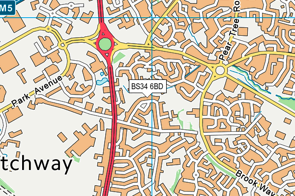
The Avenue Playing Field on a map

The Avenue Playing Field geodata
| Easting | 361059.72 |
| Northing | 182617.86 |
| Latitude | 51.541107 |
| Longitude | -2.562881 |
| Local Authority Name | South Gloucestershire |
| Local Authority Code | E06000025 |
| Parliamentary Constituency Name | Filton and Bradley Stoke |
| Parliamentary Constituency Code | E14000702 |
| Region Name | South West |
| Region Code | E15000009 |
| Ward Name | Bradley Stoke North |
| Ward Code | E05012106 |
| Output Area Code | E00075515 |
About this data
This data is open data sourced from Active Places Power and licenced under the Active Places Open Data Licence.
| toid | osgb1000002084840554 |
| Created On | 5th Feb 2007 |
| Audited On | 1st Mar 2023 |
| Checked On | 1st Mar 2023 |
